

-30%


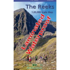


The Reeks Waterproof Map
Original price was: $24.00.$16.80Current price is: $16.80.
- SSL encryption, absolutely safe shopping
- Satisfaction Guaranteed
- Safe Transactions, Happy Customers
- Your satisfaction is 100% guaranteed.

Definitive detailed map at 1:20,000 scale covering the main part of the MacGillycuddy Reeks from Caragh Lake to Lough Leane. Includes Carrauntoohil, the highest mountain in Ireland and all adjacent peaks. Produced to our 25Series standard, this general topographic map has a 5 metre contour interval for fine navigation. Signposted walking trails are depicted. Detailed topographic map with many placenames and heritage sites. Printed on good quality Progeo 90gsm map paper. The map sheet measures 1125mm x 820mm, covering 350 sq kilometres and is folded down to 125mm x 205mm.
Be the first to review “The Reeks Waterproof Map”
Related products
-30%


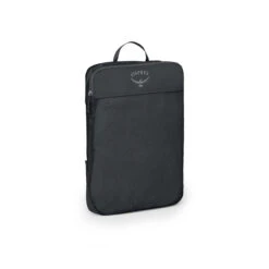
Accessories
Original price was: $45.00.$31.50Current price is: $31.50.
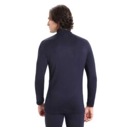
-46%

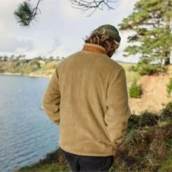
Jackets & Vests
Original price was: $180.00.$96.99Current price is: $96.99.
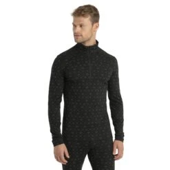
-30%
Jackets & Vests
Original price was: $78.00.$54.60Current price is: $54.60.
-30%
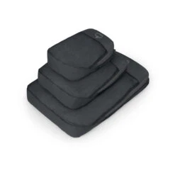
Accessories
Original price was: $34.00.$23.80Current price is: $23.80.
-30%
Accessories
Original price was: $15.00.$10.50Current price is: $10.50.
-30%

Original price was: $140.00.$97.99Current price is: $97.99.
-30%

Original price was: $96.00.$67.20Current price is: $67.20.
-30%
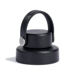
Accessories
Original price was: $12.00.$8.40Current price is: $8.40.
Reviews
There are no reviews yet.